Time well spent on a St. Louis staple.
After several solo hikes recently, I was able to meet up with some fellow rim to rim hikers and tackle a training hike along the Chubb Trail in western St. Louis county. On a beautiful and warm Sunday, I was joined by Eric, AJ, and Pete for a 14 mile endurance-building hike beginning at the Lone Elk trailhead. We did not meet until close to noon, and fortunately had plenty of room to park in the gravel lot.

Along the railroad tracks on the Chubb Trail

Wild Sweet William were plentiful along the Chubb Trail
I have hiked portions of this trail several times over the years, but never out and back like we did this go around. The trail technically starts out in Lone Elk Park, descends rapidly into the Meramec River bottomlands of Castlewood State Park, and then climbs into the very rocky and rugged West Tyson County Park. So as we began the hike, the welcome signs of spring were everywhere. Birds were singing, wildflowers were blooming, and the trees were trying to fill out a bit. The closer we got to the bottoms, the greener everything got until finally we were surrounded by a bright and full green blanket of grasses, reeds, and flowers. Normally I would have just found a log to sit on and soak it all in, but we were on a training hike that was all-business so we kept putting one foot in front of the other.

Meramec River along the Chubb Trail
My favorite part of the trail is where is runs parallel to the river right on the bank for about 1/3 of a mile. The Meramec is very wide at this point, and on this day the water fairly high and moving at a good clip. We have been without rain for several days so it even had a nice blue/green color to it. Often this a great location for seeing birds and other wildlife, but all seemed quiet while we raced through. After passing through Epstein Prairie and back over the railroad tracks, the trail changes its calm disposition and becomes more difficult.

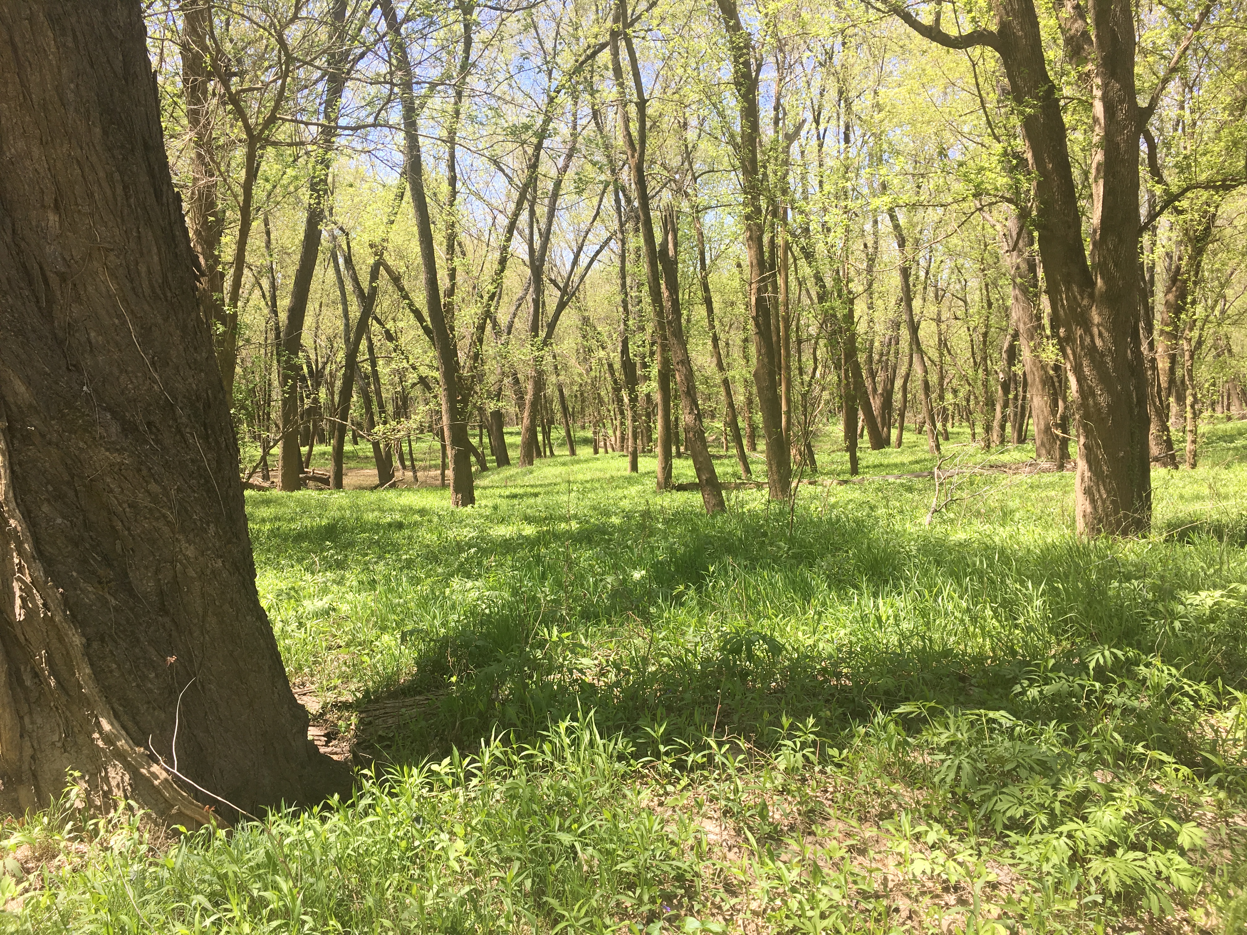
Epstein Prairie along the Chubb Trail
As the trail climbs out of the bottoms, the rock ledges become a stairway and the trail surface a slippery gravel. Up in the hills the landscape is still fairly barren, with some wildflowers blooming but most of the trees still bare from the winter. Many people use this route as a challenging trail run or for mountain biking, but probably out of my league for either of those pursuits. We did see some cyclists, a few of whom were walking alongside their bikes which made perfect sense to me. Near the top of the hill is a nicely located picnic table in the middle of the woods, a perfect spot for a quick snack. Two more miles from there we reached the pavilion at West Tyson County Park where we rested for a few, ate a quick lunch, and spoke with fellow hikers who finished for the day and were making the most of the weather by enjoying a cold IPA and taunting those of us who still had 7 miles to go.

May Apple offered some greenery on West Tyson
The hike back was uneventful, going over the same terrain as we did on the way in. I try to avoid out and backs as much as possible, but this route truly served its purpose today and I found it enjoyable. Even though we were on a mission, I did see some Palm Warblers, Bluebirds, Red-bellied woodpeckers, and heard many other spring birds. We also were joined by a few small Midland brown snakes, finally my first snakes of the year. It was nice to see others using the trail, including a father and his two sons who biked down to the bottoms with fishing gear to try their luck along the river. I made a mental note to try that one of these days.
I am thankful for the weather, the companionship, the training miles in the books, and for another great day in the MO-Outdoors.


