A pleasant surprise
The Turkey Ridge Trail at Rockwoods Reservation Conservation Area is a worthy two mile loop trail in far west St. Louis County. The short trail offers an easily accessible trailhead and varied terrain that caters to almost all hiking skill levels. It had been a few years since I hiked the Turkey Ridge Trail, often driving past it enroute to another outdoor destination. However, I used a recent warm January afternoon to revisit this trail and I am happy that I did.
The highlights
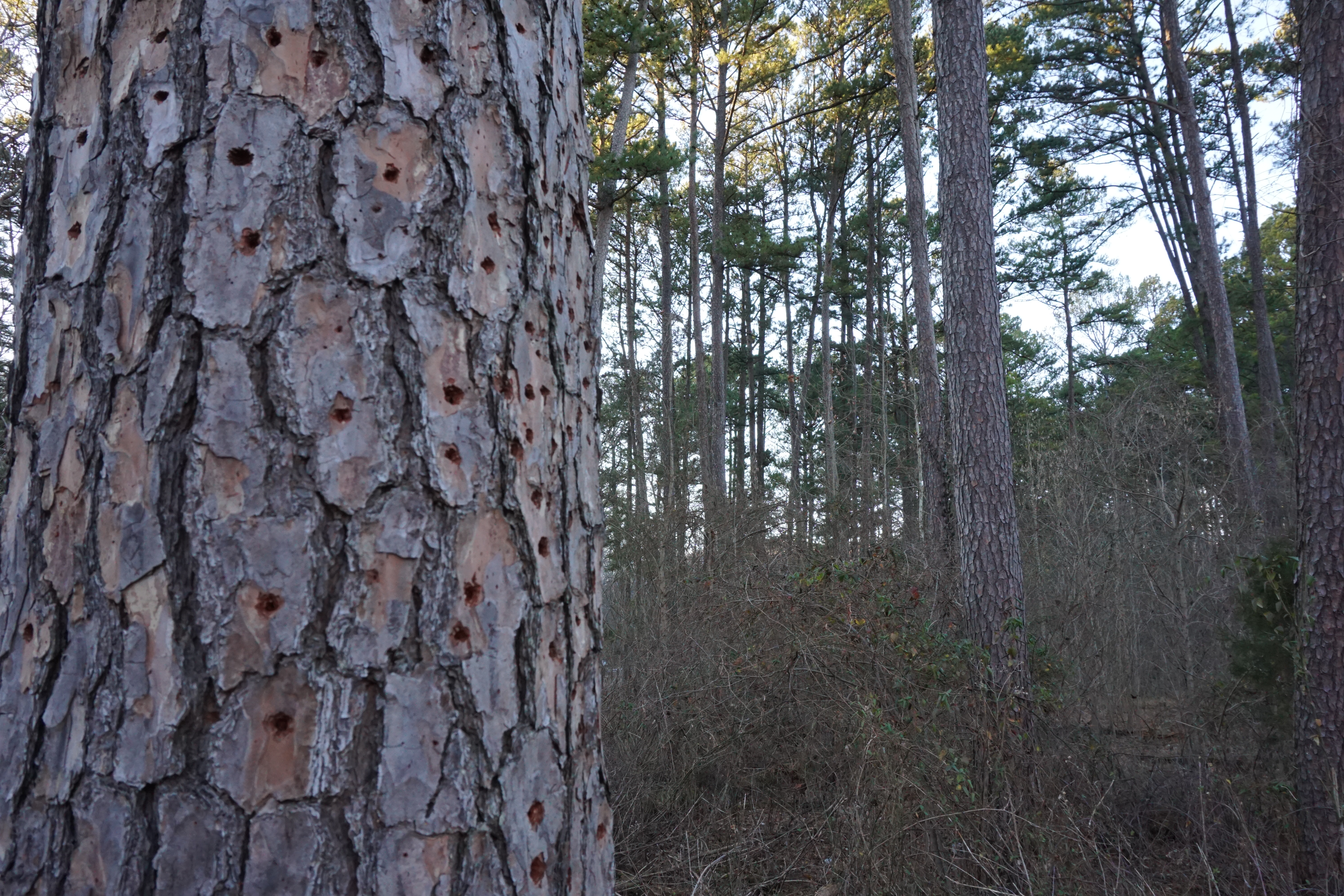
The trailhead at the Turkey Ridge Trail is located right in the middle of an attractive grove of native shortleaf pines. While these pines can be found in other St. Louis County locales, I am not aware of any other as easily accessible as these. Walking counter-clockwise the trail quickly rises up away from Highway 109 and runs along a short limestone outcropping. The steep incline offers an opportunity for those seeking a challenge to get the heart rate up. If you are seeking an easier route, then I suggest taking the trail clockwise as the ascent is much more gradual.


The backside of the trail is on the opposite side of the ridge and and offers some scenic vistas and a respite from the traffic noise. Even though the area is busy, this trail is one of the less traveled ones at Rockwoods Reservation. On this warm day I only ran into a few other people. Also, while I have nothing against cyclists and enjoy riding myself, no bicycles are allowed on the trail.
The downside
As mentioned, the Turkey Ridge Trail is right off Highway 109 which leads to traffic noise along much of the trail. Also, the parking lot at the trailhead if fairly small, accomodating only 5-6 vehicles at a time. Lastly, there are a few spots along the trail where you can see some of the large homes in the surrounding neighborhoods.
Where is the Turkey Ridge Trail?
The trail is part of the Rockwoods Reservation Conservation Area, but is located across Highway 109 from the main portion of the park. Basically it is located at the intersection of Highway 109 and Woods Rd. (GPS coordinates 38.556921, -90.642652). This area is roughly between State Rd. And Highway 100 (Manchester Rd) in Wildwood. The trailhead is immediately on the left after pulling onto Woods Rd.
Additional information
Rockwoods Reservation Conservation Area is a very popular day use area consisting of almost 2,000 mostly wooded acres. The Department of Conservation offers many educational programs at the facility and there are some beautiful hiking trails on-site. For a previous blog on the area, check out this link:
And as always, you can check out the Missouri Department of Conservation website for more detailed information regarding hours, rules and regulations, and current offerings:
https://nature.mdc.mo.gov/discover-nature/places/rockwoods-reservation
Either way, I encourage you to get out and explore Rockwoods Reservation Conservation Area. And the Turkey Trail Ridge is a great way to start.


